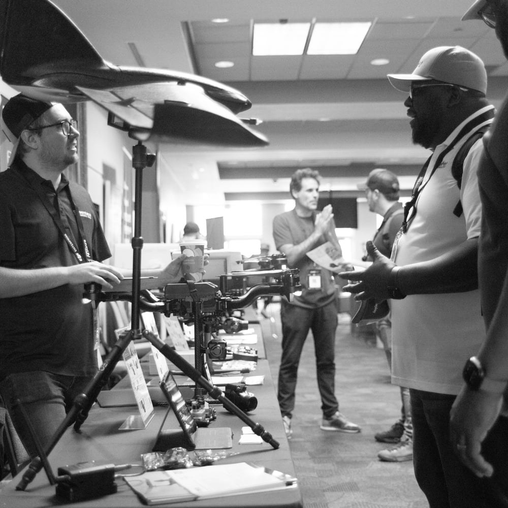
As the drone industry continues to grow, the opportunities available to enthusiasts expand beyond recreational flying. Many businesses are beginning to implement drones for commercial use, and this has opened up new, fascinating career paths for people looking for a job that gets them out from behind a desk.
Let’s take a look at some of the most exciting drone pilot jobs out there, and most importantly, what it takes to get there. 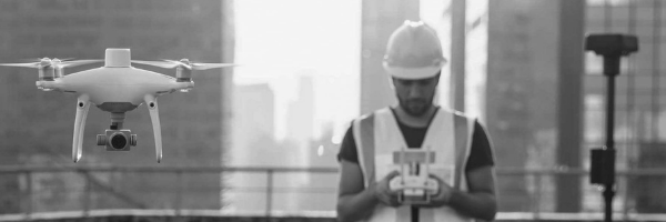
Drone Photographer/Videographer
This is probably the most obvious of all career paths. As consumer drones began having more advanced, prosumer-oriented features, creatives took advantage and began leveraging drones to create content. From wedding videos to residential real-estate “walk-throughs”, drones offer a lucrative alternative to photographers and videographers that want to expand their services.
As more brands look for user-generated content, users that create drone films have a greater chance at selling their content for news, events, marathons, and other productions. Because it takes more skill to shoot and edit a high-quality video, videographers can charge more for their work.
Surveys & Mapping
For those that aren’t directly involved in mining, construction, and similar fields, it’s difficult to imagine the various needs these organizations have when it comes to surveying and mapping. As a drone pilot, you don’t need to have experience in developing topographical models, and you don’t need to risk your life going into a mine either. Many organizations are beginning to adopt drone technology as a faster, safer way to capture topographical data. Drones equipped with powerful, advanced cameras can use photogrammetry to triangulate coordinates, which are then processed through software to create accurate renderings and maps.
The experience needed to be a drone surveyor depends on the area or company you work for, but you are generally required to have at least two years of experience in that particular industry (construction, land surveying, mining), or an associate degree in a surveying program or related field. You will need a Part 107 license to fly commercially, and you may need to learn how to work with 3D laser scanners.
The salary range can be from $30k-$70k, depending on the industry you operate in, or your level of experience.
Solar/ Wind Turbine/ Powerline Inspector
Energy infrastructures have to keep up with regular maintenance and consistent inspection schedules to guarantee safety and stay in compliance with government regulations. Traditional inspector jobs were high-risk, time-consuming, and required several years of experience. Whenever an outage occurred, it could take days or even weeks of inspecting miles of energy towers to discover and repair damaged areas. UAVs have presented a great opportunity to reduce the time needed to conduct powerline inspection, all while minimizing the exposure to hazards for technicians. Additionally, using drones allows live visual footage to be transferred or streamed by engineers or maintenance teams, which results in getting the right people, equipment, and tools out to fix the damaged site faster. Because this job is in high demand, drone pilots operating as inspectors can earn up to $300 per hour.
Agriculture Surveyor
Food demand has increased significantly over the past few decades—people have also begun to question the sustainability of agricultural production, and most consumers want transparency within the supply chain. Agriculturists, as well as farmers, large and small, have started to implement precision farming; a technique that allows them to minimize the use of pesticides and fertilizers, all while increasing crop yields. Precision farming is based on automation and complete control over the daily operations in the field.
Drones equipped with multispectral sensors can help farmers detect pests and diseases before it devastates an entire crop. These drones can also capture data on crop health by measuring chlorophyll levels in plants.
The average hourly pay for an agricultural surveyor can range from $100- $200 dollars depending on the location, company, and experience of the pilot.
Drone Data Processing and 3D Modeler
Drones are versatile equipment. They can capture vast amounts of data in very little time which can be used to analyze all types of factors across many industries. However, data is useless if it can’t be interpreted or rendered. Creating 3D maps and models using drones is a job that can be found across various industries, it’s well paid, and is in high demand.
3D models can help construction companies create more accurate blueprints, it helps civil engineers determine the right measurements for a large project, and you can even work in law enforcement, helping departments recreate crime scenes and accidents.
Because this particular role is a keystone for many projects, 3D modelers can earn upwards of $100K per year, and can even charge premium rates if working as a freelancer.
Wrap Up
Obtaining a Part 107 license is much more affordable than obtaining a college or technical degree, and the need for drone pilots is so high, that the barriers to entry into these fields are relatively low. Many pilot jobs offer competitive salaries, and it’s a good alternative for people that don’t want to be stuck in the office.
Check into drone solutions you can use to start up your pilot career at Drone Nerds.